Good morning. This is Eric Knoff with the Gallatin National Forest Avalanche Advisory issued on Saturday, February 19, at 7:30 a.m. Pinhead Classic Telemark Festival in cooperation with the Friends of the Avalanche Center, sponsors today’s advisory. This advisory does not apply to operating ski areas.
Over the past 24 hours, a moist SW flow has deposited 4-6 inches of snow in the mountains around Cooke City and West Yellowstone. The mountains around Big Sky including the northern Gallatin Range have picked up 2-3 inches while the Bridger Range has remained dry. Most areas are still receiving strong winds which are blowing 15-40 mph from the SSW, with the exception of the Bridger Range where winds have calmed to 5-10 mph. Temperatures are in the teens and will warm into the mid 20’s by this afternoon. Skies will stay cloudy today and winds will continue to blow out of the SW at 15-30 mph as another storm system approaches our area. The southern mountains will likely see accumulations of 4-6 inches by tomorrow morning while the northern mountains will pick up 2-4 inches.
The Madison and Gallatin Ranges, the Lionhead area near West Yellowstone, the mountains around Cooke City and the Washburn Range:
A strong SW flow has favored the mountains south of Bozeman. Over the past three days the mountains around West Yellowstone and Cooke City have picked up 8-10 inches of new snow while the mountains around Big Sky have picked up 6-8 inches. This welcomed shot of snow has freshened up the riding conditions, but has also heightened the avalanche danger. Although snow amounts have varied, one element has remained constant (photo) - WIND!
Strong winds and fresh snow have combined to create ideal conditions for wind slab development. Steep, upper elevation slopes on the north and east half of the compass will be the most likely areas to encounter sensitive wind slabs. Yesterday, the Big Sky Ski Patrol closed north facing portions of the ski area early due to rapid loading and natural avalanche activity. A skier outside of Cooke City also found fresh wind slabs to be reactive to ski cuts.
The northern Gallatin Range has received less snow than the southern mountains, but a buried weak layer 1.5-2 ft below the surface remains a concern. On Thursday, Mark found this layer on Mt Blackmore and skiers in the Flanders drainage nearby found an identical layer which propagated during stability test. This layer has gained strength over the past few weeks, but is potentially stressed close to the point of failure on any wind loaded slope.
Most avalanche activity will stay confined to the new snow, but there are isolated places on more wind loaded slopes where slides could step down to deeper hard slabs formed by strong winds prior to this latest storm. A hard slab avalanche was responsible for a fatality on the west side of the Bridger Range last Monday (video)(photo1, photo 2). Hard slabs are unpredictable and often produce very dangerous avalanches. Staying alert and avoiding wind loaded slopes will be the best way to avoid trigging an avalanche.
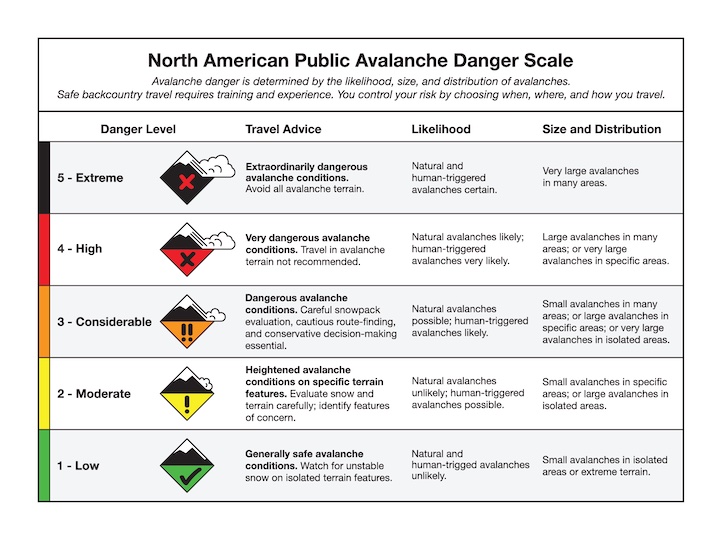
Today, human triggered avalanches are likely on all wind loaded slopes steeper than 35 degrees where the avalanche danger is rated CONSIDERABLE. All other slopes have a MODERATE avalanche danger.
The Bridger Range:
A SW flow does not usually produce heavy snow events for the mountains north of Bozeman; this latest storm is no exception. With no new snow over the past few days, the snowpack in the Bridger Range has had time to adjust to the 6 inches that fell on Wednesday night. Yesterday, Mark and I traveled to Frazier Lake in the northern Bridgers and found relatively stable conditions. We were suspect of steep, wind loaded slopes along the ridgeline, but we felt comfortable skiing non-wind loaded slopes up to 35 degrees. Wind loaded slopes are the primary avalanche concern for the Bridger Range.
Today, human triggered avalanches are possible and the avalanche danger is rated MODERATE.
I will issue the next advisory tomorrow morning at 7:30 a.m. If you have any snowpack or avalanche observations, drop us a line at mtavalanche@gmail.com or call us at 587-6984.
Truman Avalanche Report
The report on the avalanche fatality from February 14th in Truman's Gulch on the west side of the Bridger Range is posted online. You can read it here: http://www.mtavalanche.com/accident/11/02/18
3rd Annual Montana Ale Works Fundraiser
Tuesday, March 1 at 6:00 p.m. in the Railcar at Ale Works in Bozeman
Cost: $25 to benefit the Friends of the Avalanche Center
Details: Chef Roth at Montana Ale Works is creating tapas style servings that will be paired with select beer from Lone Peak Brewery. More information HERE.
Upcoming Education
Saturday, February 19, West Yellowstone
The Friends of the Avalanche Center will offer a FREE Basic Avalanche Awareness Workshop at the Holiday Inn in West Yellowstone, MT. 7-8 p.m. (next to the bar) Topics include: terrain, mountain weather, snowpack, rescue procedures, and recent avalanches in local riding areas.