Photos
|
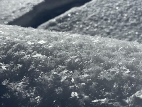
Southern Madison, 2022-11-13 From obs 11/12/22: "Looks like this could be a problem when buried." |
|
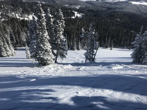
Bridger Range, 2022-11-12 From obs: "Photos of a small wind slab avalanche (R1 D1) from yesterday at approximately 7800 feet on the northern end of bradleys meadow. The slide was initiated by the second skier and although the rest of the slope was <30 degrees the starting zone was a NE facing steep cross loaded wind pillow just below the ridge. As my friend was skiing down he saw a crack propagate up and to his left and was able to stop on the side of the path as the snow ran past him. The crown was approximately 30-40 feet and ran about 100 feet." Photo: G. Roe Link to Avalanche Details |
|
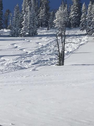
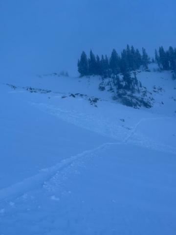
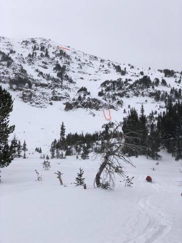
Bridger Range, 2022-11-11 From IG: "Remotely skier trigger wind slab up on white worm near sac bowl". Photo: C. Howell Link to Avalanche Details |
|
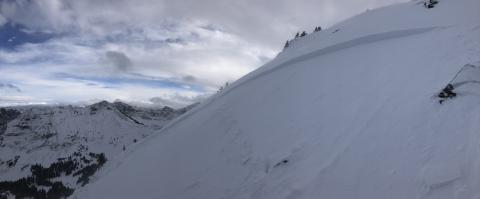
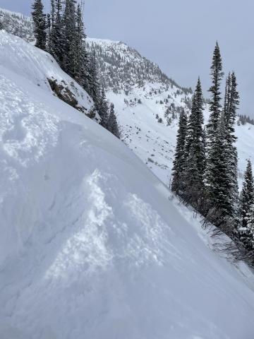
Northern Gallatin, 2022-11-10 A skier remotely triggered an avalanche on Mt Blackmore (11/9/22). From email: "I ski cut the top of the face and remote triggered a hard slab from 50’ above the crown. It broke full width of the couloir feature, 150’ wide and 10-18” deep. Broke on new snow/old snow interface which was another hard wind slab. The avalanche ran the length of the East face and stopped just below the last set of cliffs." Link to Avalanche Details |
|
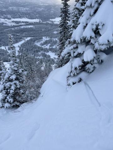
Bridger Range, 2022-11-09 Small slab avalanche triggered by skier in a small chute near The John and Bronco runs in Bridger Bowl. Propagation from skier’s ski, slab slid down through the chute. Crown maybe 10 feet wide. Slab looked about 6 or 7 inches thick. Looked like a layer of new snow from today and yesterday’s storm sliding on top of an old crust layer. Nobody harmed, just spooked. Link to Avalanche Details |
|
Bridger Range, 2022-11-09 From obs: "Saw some cracking and propagation of a 6-8" storm slab on steeper terrain near the Bridger Lift. Gentle upslope winds seem to have compacted a slab near some terrain features, and I got a small propagation at the edge of the Sluice Box gully where the slope angle tipped up near 40." Photo: C. Avis Link to Avalanche Details |
|
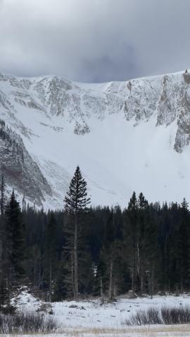
Bridger Range, 2022-11-05 While traveling up the Fairy Lake road, we observed the aftermath of an avalanche in October Bowl. The avalanche was D2-D3, start zone was at approximately 9000 ft, north east aspect, crown depth and width is unknown. Photo: H. Bigos-Lowe Link to Avalanche Details |
|
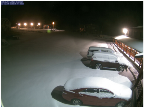
Cooke City, 2022-11-05 A 6 a.m. image of the snow that fell last night in Cooke City. |
|
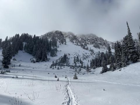
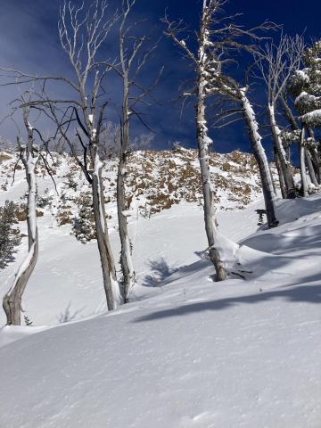
Northern Gallatin, 2022-11-05 Skiers found a thin snowpack that is beginning to weaken (facet). Read observation here. Photo: T McCutcheon. |
|
Northern Madison, 2022-10-25 Skiers in Beehive Basin noted small wind drifts forming as they toured. Slopes loaded by wind-drifted snow are the most likely place to trigger an avalanche right now. Photo: C Ellingson |
|
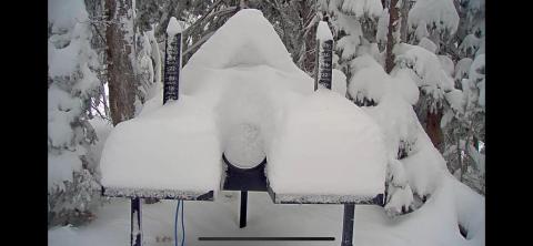
Northern Madison, 2022-10-24 The Headwaters Snow Stake at Big Sky Resort was buried in new snow on Sunday. |
|
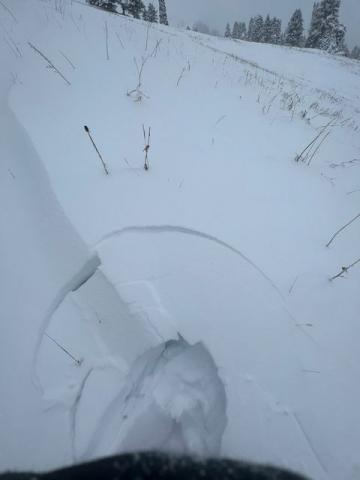
Bridger Range, 2022-10-23 Evidence of wind-loading creating the conditions for avalanches in the Bridger Range. Cracking is an indicator of instability. The observer noted this was "Nothing consequential," but this shows that unstable drifts are forming. They will be more consequential where there is more snow and as the wind creates larger drifts. Photo: E Smith |
|
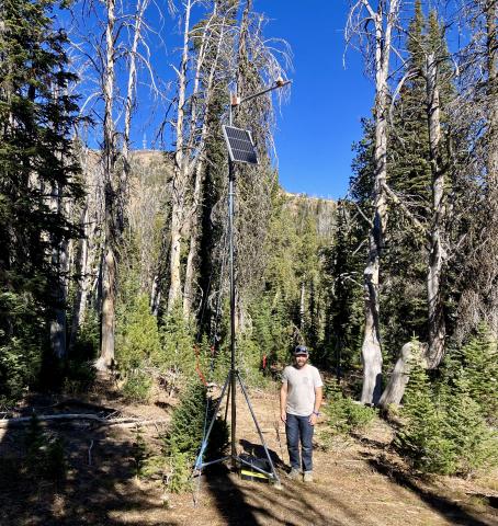
Island Park, 2022-10-22 We completed the setup of a SNOdar snow depth sensor on Sawtelle Peak in the Centennials on Wednesday 10/19. Forecaster Ian Hoyer for scale. Located at 8800 feet elevation. The sensor will record total snow depth and 24 hr snowfall. Data will be displayed on our website soon at: http://www.mtavalanche.com/weather/stations/sawtelle-snow. |
|
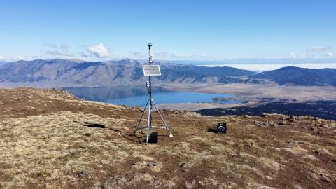
Island Park, 2022-10-17 The newly installed Sawtelle Peak weather station. Photo: GNFAC (10/4/2022) |
|
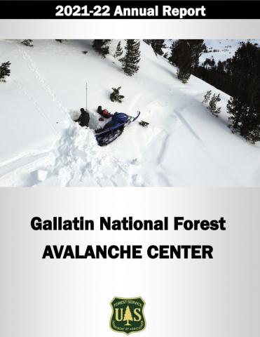
, 2022-08-16 cover image |
